
Richland Neighbor Record Layers
No official list names every household around a Richland address. The useful view combines parcel boundaries, assessor records, city files, election geography, historical sources, and association material. Each layer has a narrow purpose. The parcel roll identifies land and a published owner. A permit documents work at a site. An HOA map may define a community, but its private portal is not a public roster of neighbors.
| Source | What It Shows About a Block | Access |
|---|---|---|
| Benton GIS | Parcel shapes, roads, and available map context | Public ArcGIS hub; dynamic fields vary |
| Benton Property Search | Parcel, legal description, situs address, published owner and sales | Free online portal |
| Election geography | Precinct context for an address | Public map; voter data limits apply |
| CAP and HOA sources | District, subdivision, documents, board contacts and community boundaries | Public pages; member areas stay private |
| Tri-Cities directories | Past listed adults near an address in one publication year | Library and FamilySearch Center |
An assessor owner is not necessarily an occupant. A directory listing is also a dated snapshot, not proof of continuous residence. Build the block from parcels first, record the source year, and state only what each official record supports.
Richland Neighbors on Benton GIS
The Benton County GIS hub is the map gateway for parcel and public-works context. Its dynamic layer names and popup fields were not fully exposed in the research capture, so do not promise a buffer or adjacency button. Use the map visually, then confirm each nearby parcel through Property Search. The map shows spatial relationships; the assessor supplies the published parcel record.
The county also offers public maps for road approaches, traffic counts, monuments, closures, utility encroachments, and right-of-way material. Those layers can explain why parcels meet a road in an unusual way. They do not identify everyone who uses or occupies the land.
The official GIS landing page shown below leads to the county's available mapping tools.
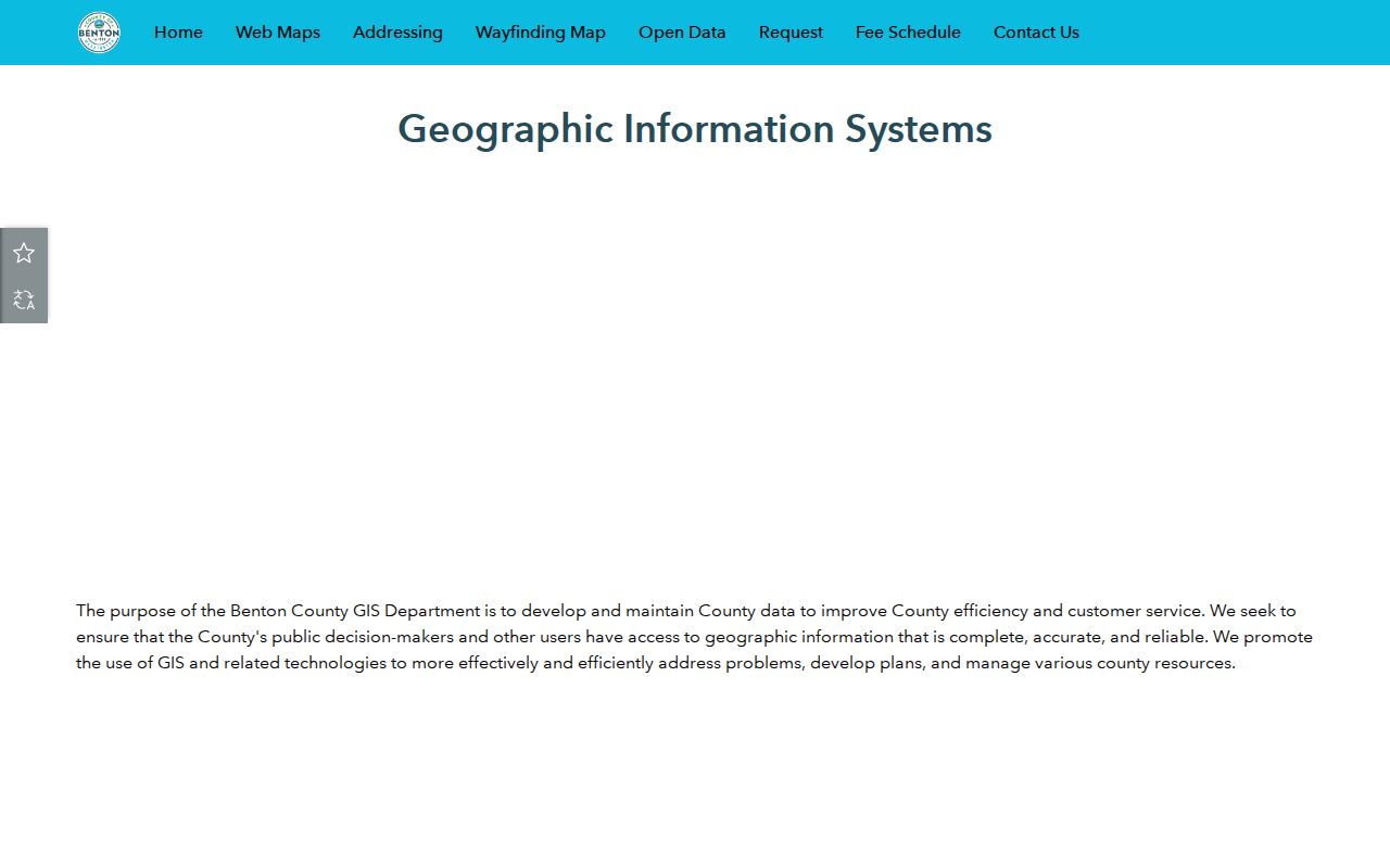
Preserve the map date, parcel identifier, and layer name whenever a block observation matters.
Richland Address Jurisdiction Matters
Benton County's Master Address Viewer covers unincorporated county areas. Address questions inside incorporated Richland go to the city. County guidance also says vacant land may lack an address and short-plat lots can carry a temporary T prefix before a building permit produces the final address. These details prevent a missing search result from being mistaken for an empty parcel.
A legal description identifies land through recorded terms or plat references. It can remain stable when a mail line changes. Keep the parcel ID, subdivision, lot and block, street form, and city jurisdiction together. That small record packet makes adjacent-lot comparisons much more reliable.
- Parcel
- A mapped unit of land used in assessment records.
- Situs address
- The physical site address shown on the property record.
- Legal description
- The formal land description used in recorded instruments.
Map a Richland Neighbor Block
Use the Benton County Property Search to anchor one address. Street Number accepts text, Street Name accepts full or partial wording, and City can narrow results to Richland. Save the Parcel/Geo ID, Property ID, legal description, situs address, appraisal year, and map location before moving to adjacent lots.
- Locate the starting address and confirm its parcel identity.
- Open the map and note each parcel that shares an edge or faces the site.
- Search those parcel IDs individually and record only published owner data.
- Compare situs and mailing fields without assuming they prove occupancy.
- Use the full street workflow only when the question extends beyond the immediate block.
The Richland street directory carries the broader named-street chain. This block method stays close to the starting parcel and its immediate surroundings.
Richland Neighborhood Association Sources
Official association pages add community boundaries, covenants, maps, board contacts, and street clues. They should not be treated as public resident directories. Crested Hills describes its area at the end of Gage Boulevard and publishes phase maps and governing material. Meadow Springs Second Nine names streets in its association area. Horn Rapids uses a private owner portal, and The Heights at Meadow Springs publishes board and community material without a public member roster.
Crested Hills HOA
Phase maps, covenants, bylaws, architectural material, and a public contact channel.
Meadow Springs Second Nine
Association description and named streets, with owner services routed to member channels.
Horn Rapids Master HOA
Community information and a Smartwebs owner portal; no public household list.
The Heights at Meadow Springs
Board and neighborhood material without an open member directory.
No official master directory of every Richland HOA was found. Confirm a parcel's subdivision and recorded covenants instead of inferring association membership from a neighborhood name.
Richland CAP Civic Districts
The Richland Community and Police groups offer a civic layer for neighborhoods. CAP groups connect residents and police around district concerns and communication. Their value in a block project is district context and a public channel, not a roster of people living nearby.
Community boundaries may differ from parcel subdivisions, postal ZIPs, precincts, and common neighborhood names. Label each boundary by its source. A CAP district should never be presented as proof that a named person lives within it.
Richland Precincts Are Not Households
Benton Elections links an address and precinct viewer. It can place an address in election geography, but it is not a neighbor list. VoteWA requires a registered voter's own matching first name, last name, birth date, and CAPTCHA. A public voter extract requires an application and is controlled by RCW 29A.08.720.
Public voter fields may include name, residence or mailing address, precinct and district codes, registration date, status, and participation history. Ballot choices are excluded. The file cannot be used for advertising or commercial solicitation. Registration is also not proof that the person occupies the address today.
Compare Richland Neighbor Sources
Official records and commercial neighbor tools serve different roles. County and city sources name the custodian, define the record, and provide a correction or request path. Commercial tools may merge old records without showing why two entries belong together. Use the official source whenever a parcel, boundary, permit, or registration fact matters.
| Point | Official record | Commercial category |
|---|---|---|
| Source | Named public custodian | Compiled from many feeds |
| Date | Record year or update may be shown | Age may be unclear |
| Correction | Agency or office process | Provider-specific process |
| Best use | Verify a defined public fact | Unverified lead only |
Do not merge names merely because they appear near the same street. Confirm at least two independent details and stop when a source is protected.
Historic Richland Neighbor Context
Richland's planned neighborhoods can explain a block's form. The Alphabet Houses history records more than 4,300 letter-type homes by early 1945. The Gold Coast Historic District dates to 1949 and includes larger project-era homes near the Columbia River.
Architecture and district history help date a place. They do not identify current neighbors. Pair historic maps or floor plans with parcel records and deeds, and keep present-day names out of a neighborhood-history narrative unless the record use is lawful and necessary.
Note: A historic district, HOA, CAP district, voting precinct, ZIP code, and parcel subdivision can overlap without sharing the same boundary.
Richland Neighbor Privacy Limits
Public parcels do not reveal a full household. Private association portals, utility accounts, and delivery data are not open neighbor directories. Washington's Address Confidentiality Program gives eligible participants a substitute address that state, county, and city agencies must accept. It protects voting and marriage records under program rules. Never guess a hidden address or try to defeat that protection.
Lawful use. Research Richland neighbors for civic awareness, place history, or reconnecting. Never use a record to watch, intimidate, harass, or harm a person.